

We are 100% colleague-owned and bring together over 550 dedicated engineers, consultants, and professionals who work collaboratively to diagnose and solve problems effectively. Learn more here.

Our team provides comprehensive engineering design and consulting services to multiple markets globally in both built and natural environments.
Every colleague has a personal stake in our collective success. This ownership culture fosters a deep sense of responsibility, engagement, and dedication to one another, as well as our clients and projects.
Planning
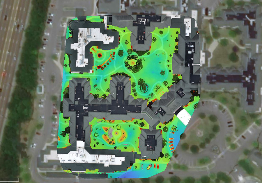
Geographic Information Science (GIS) is more than mapping. It’s a powerful platform that connects data, people, and place to enable smarter, faster, and more informed decisions across the lifecycle of infrastructure projects. From early planning through design, construction, and long-term operations, SSR’s GIS capabilities help clients visualize complexity, reduce risk, and maximize value.

Accurate utility data is foundational to successful infrastructure projects. SSR’s Utility Mapping services provide verified utility information that supports engineering design, asset management, and capital planning. Our teams collect new utility data and modernize existing CAD models, as-builts, and utility records to create comprehensive GIS mapping systems. Using ArcGIS Field maps and Survey123, supported by custom attribute schemas and optional high-accuracy GPS/GNSS receivers, we develop accurate and maintainable datasets tailored to each client’s needs. The result is reliable, structured data that integrates directly into a client’s existing workflows and systems.
Understanding what assets exist and their condition is critical to long-term system performance and capital planning. SSR provides structured, field-based GIS data collection for infrastructure assets including valves, manholes, hydrants, and pump stations and other components across water, sewer, stormwater, and other utility systems. Using custom Survey123 forms and Field Maps deployments, our team captures consistent, high-quality data. This information feeds directly into ArcGIS Online hosted feature services, giving owners immediate access and visibility across their system.
SSR’s Construction & Field Intelligence services bring GIS directly into the field, replacing paper-based processes with efficient, digital workflows that capture accurate, real-time data. These tools support inspection documentation, punch list tracking, photo records, and as-built markups in real time.