

Geographic Information Systems
Geographic Information Science (GIS), or spatial data science, is the scientific discipline of using location intelligence to explore spatial patterns and relationships, answer questions, and solve problems relating to a variety of different topics. At SSR, we help our clients harness the power of location intelligence to make better decisions using geographic information systems. Our GIS services have been developed to provide innovative solutions for implementation, maintenance, and management to identify custom solutions for your individual issues. Our areas of expertise in geographic information systems and science include:
- Asset management
- Data acquisition and collection
- Field applications for mobile devices
- GIS consultation
- GIS database management
- Hydrological modeling support
- Infrastructure mapping
- Remote sensing
- Unmanned aircraft systems (UAS)
- Web applications

Featured Project
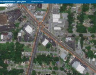
City of Memphis Traffic Signal Maintenance One Call
Memphis, Tennessee
The City of Memphis Traffic Signal Maintenance (TSM) division has partnered with SSR to manage…
View Project